Showing posts with label Shvil Yisrael. Show all posts

Friday, July 06, 2007

Shvil Yisrael, around Elad

Some sections of the Israel National Trail are beautiful, like Apollonia. Some are decidedly less beautiful, like this week's walk. We took up where we left in February (which I have yet to blog about, since we did the walk just before my mother's final illness. Must. Remember. To. Backpost.), at the town of Elad.

Elad is a religious community which has won awards for its beauty and landscaping. And just outside its fence--yuck. We parked at the outer edge of the town, just near the entrance, since our starting point was about a quarter kilometer out of town.

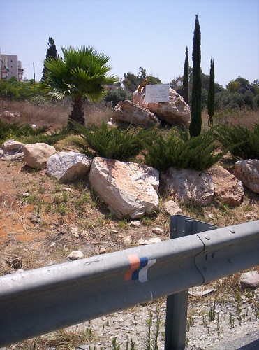
We started at what's a not-uncommon sight in Israel: a memorial to a mother and daughter killed in a road accident.
100_1954

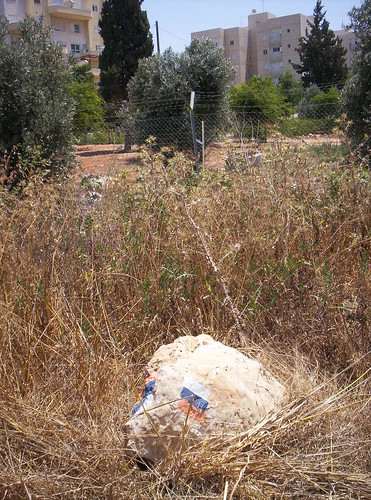
(One of the problems with the trail is maintenance. If the weeds in front of this rock hadn't been tramped down, we never would have found the path.)
100_1955

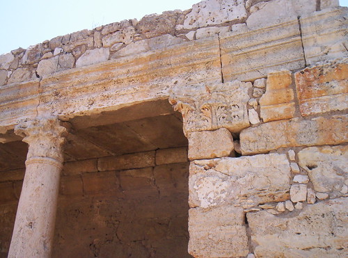
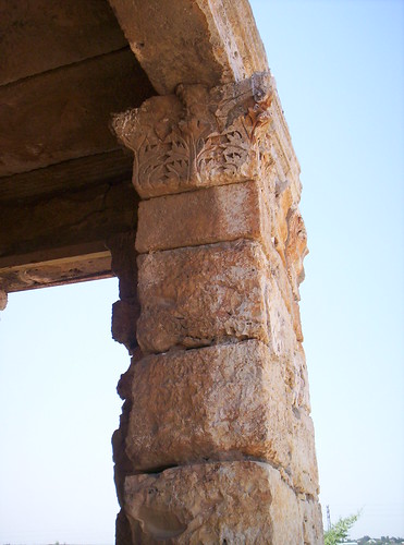
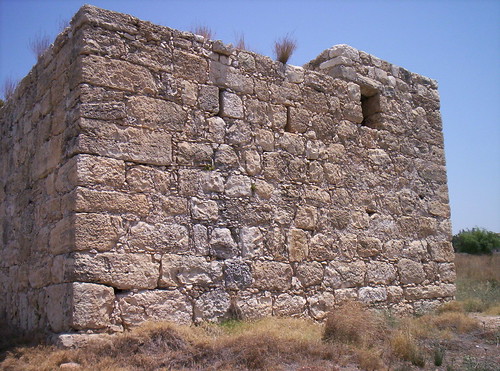
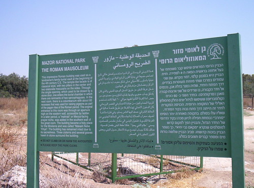
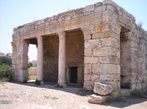
After a short distance you get to the one pretty thing on this walk: Mazor Mausoleum National Park. (Yes, it's a National Park. Yes, it's about the size of some people's driveways. As they say, Velcome to Izreal.)
100_1966
We were unsure of the mausoleum's status vis a vis a cohen and ritual impurity, so I went in, but The Spouse stayed outside.
100_1957
100_1958
100_1968
100_1971
(Remember the window in this picture. It will be important later. There will be a quiz on this.)

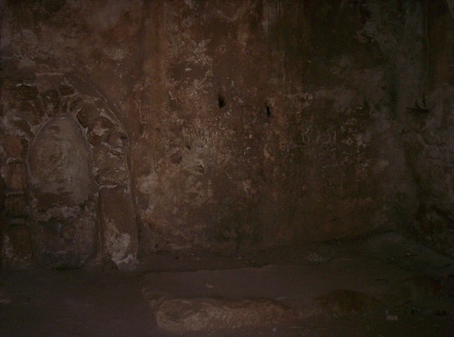
The inside is two rooms. In the first there are the remains of two sarcophaguses and a mahrab (Muslim prayer niche), which is part of the reason it's still standing.
100_1959
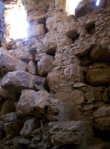
The other room is difficult to get into without assistance or a stepladder. It's a columbarium. I loved the built-in stone staircase. The windows in the earlier picture belong to this room.
100_1964
One of the cisterns outside the mausoleum. Wouldn't want to have to drink from this...
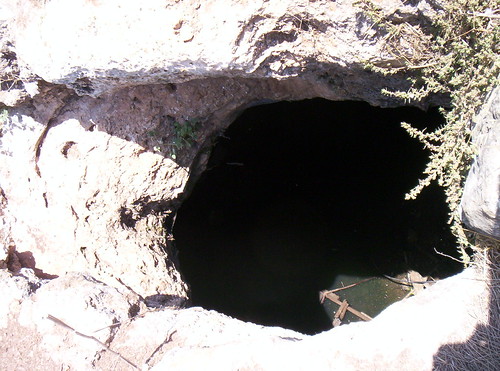
100_1967

Here's where we leave anything pretty behind. Can you see the Trail marking on teh stone?
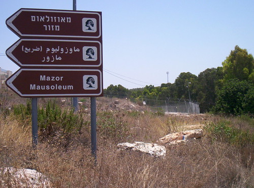
100_1975
You spend a short while walking on the old road.
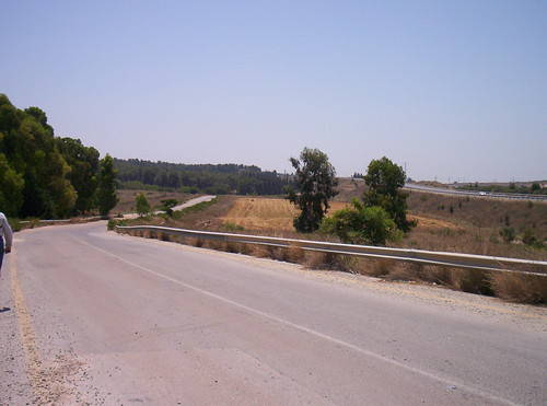
100_1976
Carefully look to your left as you walk, because the turn off is not marked. See the marking on that first tree? That's as much warning as you get. You should be OK as long as you remember that this section skirts the outside fence of Elad. When the fence turns, you turn, too.
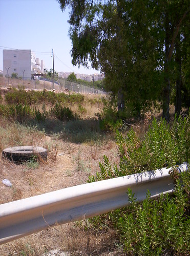
100_1978

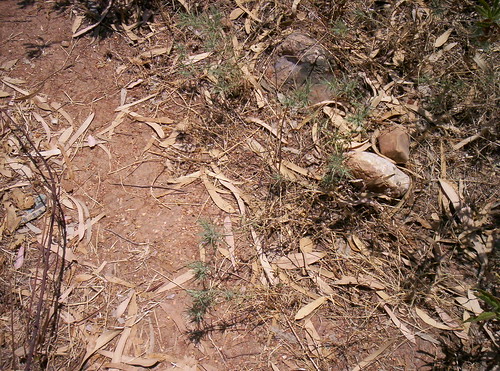
(Note: Wear closed shoes on this portion of the trail. These green things are very sharp. A certain idjit [yes, that would be me] wore sandals and regretted it immensely.
100_1980
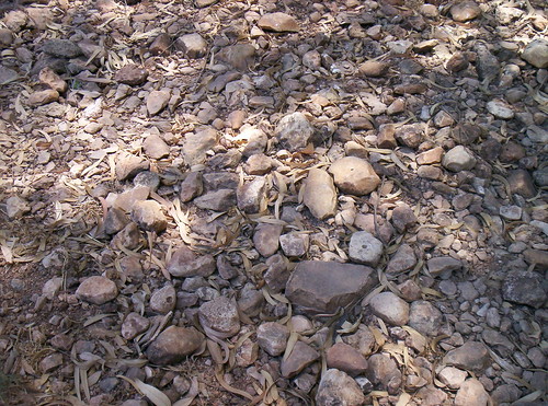
Another reason for closed shoes: there's a wadi just outside Elad. Easier to navigate the rocky bottom in something other than sandals.)
100_1981

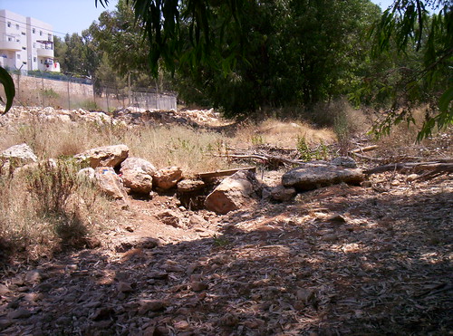
At the end of the wadi you turn, seemingly away from Elad (we'll rejoin the fence line soon). The turn is marked, but not too well--it's on one of the big rocks in the background.
100_1984

Obstacle course!
100_1986

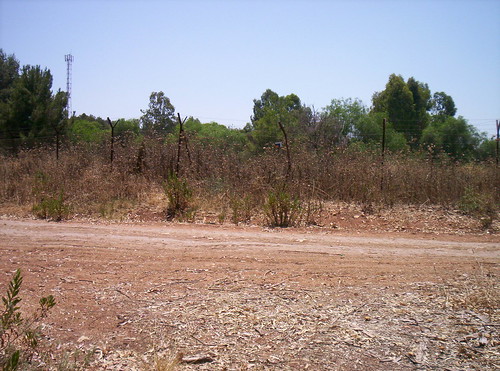
When you get to the dirt road, turn left (sign is on the fence). If you make the wrong turn you'll end up back at the main road and can return to Elad.
100_1987

When you get to a fork in the road, take it. Another piece of bad signage, on a tree; take the left fork, rejoining the fence line of Elad.
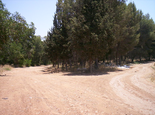
100_1988

It's very nice of KKL to provide garbage bags when people use the woods for gatherings and cookouts. Too bad KKL never sends anyone around to collect the bags...
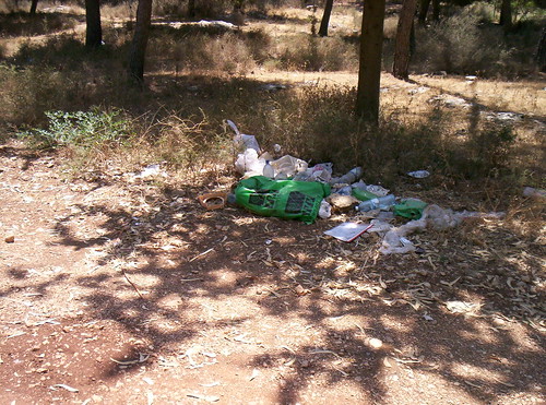
100_1989

Here's where we ended our walk for the week. We were getting hot and cranky. Taking a summer walk in a beautiful setting is one thing; this is quite another.
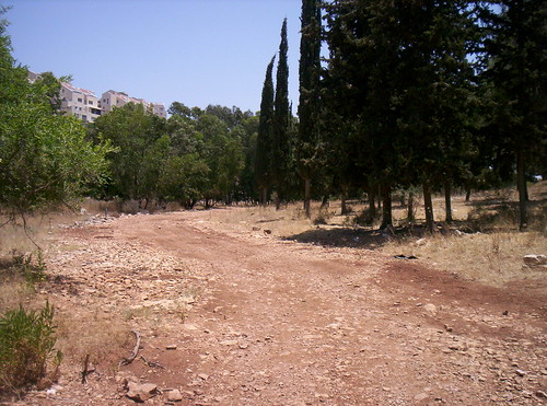
100_1992

Knitting: Mystery Stole 3 has the second clue out, and tomorrow night I start the Tour de Fleece and Tour de France KAL. Whole lot of needle shaking gonna happen after Shabbat.

Sunday, June 24, 2007

Israel National Trail: When the going gets hot

Just because the temps are up doesn't mean Shvil Yisrael for the Old and Enfeebled can;t continue. But since it was in the 90s last Thursday, we haven't done any serious walking aside from going to Chomesh, and Ikea was having a summer solstice sale/fair, we decided to take our walk in Netanya, where we could find shade and cool drinks.

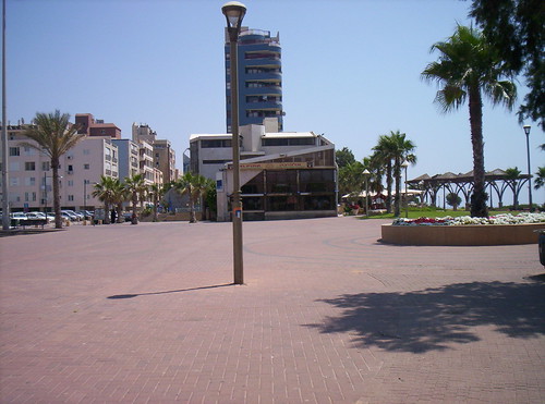
This part of the walk starts off at Kikar HaAtzmaut, at the intersection of the Midrachov/tourist area and the boardwalk.
100_1882
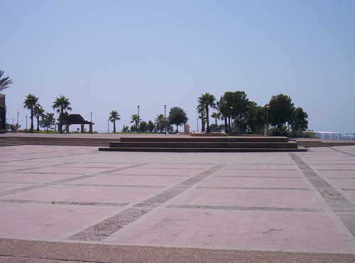
You then turn towards the boardwalk, passing this plaza.
100_1884
(Isn't it a great space? If it could be cordoned off effectively, it would be wonderful for a wedding.)
The first sign you're on the right trail:
100_1886
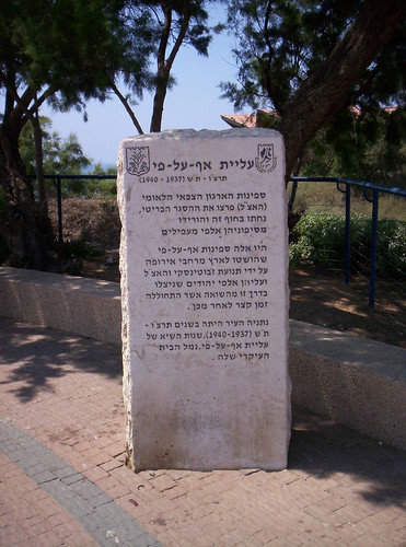
A little bit of history to start your walk off right. Netanya was the primary port for the illegal immigration ships of 1937-1940.
100_1887
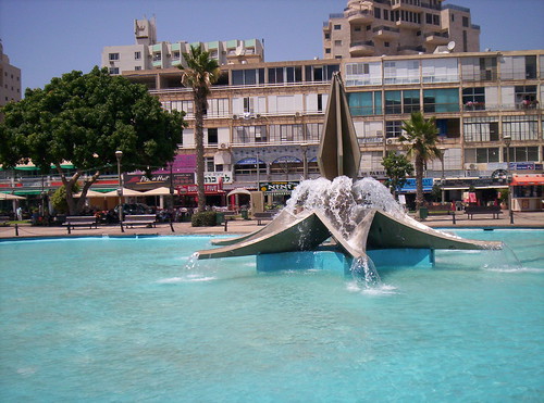
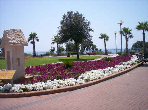
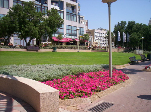
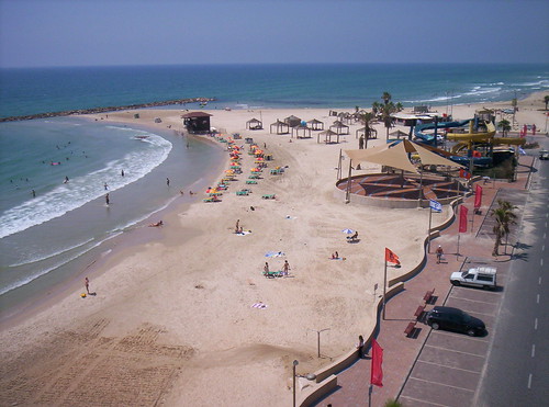
Netanya also brings teh pr3tty:
100_1888
100_1890
100_1892
100_1895
100_1897
100_1898
100_1912

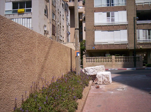
After a few minutes' stroll the boardwalk ends. Follow the path the only way you can, leading you through an alley:
100_1899
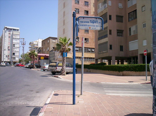
and out into Netanya, onto Rechov Gad Machnes. You'll continue down that street until Rechov Dankner, where you turn right.
100_1900
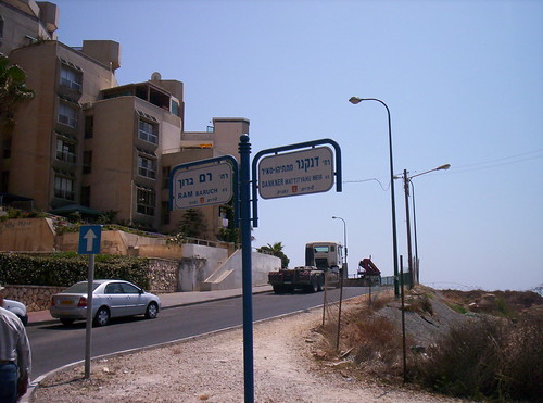
Follow Dankner all the way along (because of construction you won't actually, at this point, be walking the Trail; you'll be across the street, but can see markings past the construction site)
100_1903
until it intersects with and becomes Baruch Ram.
100_1904
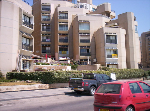
(Three apartments for sale on the same side of the same building. Kind of sad...)
100_1905

We stopped at the end of Baruch Ram because we were getting too hot. Nice art installation?
100_1909
Just rocks on the end of metal poles. Some things look beter from a distance or from a passing car.
100_1910

Tonight it's Dr Who time. David Tennant. John Barrowman. John Simm. Squee!

Wednesday, January 31, 2007

Shvil Yisrael -- Rabin Park

Is it just me, or is everything in this country named "Rabin"? I'm surprised we haven't yet become the "State of Rabin."

We had agreed to take The Oldest Teen to his base on Sunday morning. Despite the prohibition on soldiers hitchhiking, every time we go out we load up our car with soldiers, so why not do it once for our own boy? Everything was planned, I had a nice walk planned out near Nitzanim, and then he comes home--he's been assigned, for the week, to the big army base at Tzrifin. Great. Who wants to walk in Rishon LeZion?

The day was beautiful when we left the house, horribly foggy by the time we got to the base. But since we were out, anyway, we decided to continue toward Beit Meir and see if the weather picked up. By the time we got to where we'd left off last the sun had come out, and we set off in the direction we'd meant to go last time, if only The Spouse didn't have a lousy sense of direction.

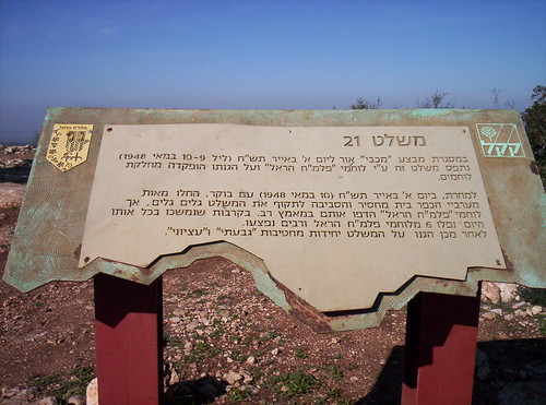
Israel National Trail markings are few and far between on this route. If you don't have a book with turn-by-turn instructions with you, just remember that you have to pass mishlat (fortified height) 16 and 21 to stay on the Trail.
100_1565
The views here are very different from those on the beach walks. Hard to believe we're less than an hour away from there. The more I walk this country, the more I realize how much is compressed into this little slice of land.
100_1568
100_1613

Most of this walk is along the path used to gain the hills around Jerusalem. The historical aspect (the Palmach's fight to gain control of the fortified high ground, in Operation Maccabi, May 1948) is well-signed. The trail--less well signed.
100_1562
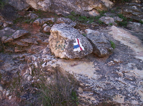
Here's why a guidebook is so important. See any National Trail markings here? (Those would be blue, white, and orange.)

100_1571
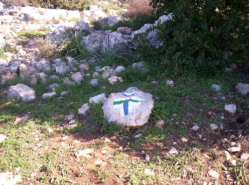
Overlook to the right, 4x4 path to the left. The overlook is probably on the trail, right? Wrong. When you get to this sign, you'll start to follow the green and white 4x4 trail. Occasionally there will be National Trail markings, but not often. As long as you're on track towards 16 & 21, you're in the right place, not that anyone will tell you.

After a nice little nature hike you'll reach mishlat 16, where you'll find a nice example of our national product--a memorial to the fallen, in this case, Palmach fighters.
100_1575
It felt odd, a year and a half after the expulsions from Gush Katif, to see a marker memorializing (among others) 10 Palmach fighters who died trying to defend Kfar Darom in the fight for independence, and it made me think how different history would have been had they managed to hold on to the village back then.
We thought this was the difficult part of the trail--there were some somewhat steep uphills. The Spouse and I joke that we're doing "National Trail for the old and enfeebled," but this section is not for that demographic; we certainly couldn't see bringing his 86 year old mother here, for example.
100_1585
Continue up the path, following the green and white markings, until mishlat 21.
100_1588
Here the trail gets more complicated, because instead of following the signs to more historical markers, you have to go behind the memorial area, behind the firing stand (for some reason, exceptionally well marked)
100_1593
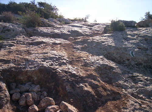
and down between some rocks on what barely looks like a path. How a 4x4 is supposed to manage this part is beyond me.
For the next hour or so I only took pictures looking uphill after we'd scrambled down. If I'd had to look all the way down from where we were at the top of the mountain, I'd have been too chicken to go on.
100_1596
Do you really think a 4x4 could do this path?
Finally an Israel National Trail marking, telling you to continue on the green path. We were getting hot and tired, so we decided to cut across the blue path, back to the red, which would circle around to where our car was parked.
100_1600
No one, not even the guidebook, bothered to inform us that if green and white meant "barely passable for a 4x4," blue and white meant "barely passable by a mountain goat."
100_1611
(See that vaguely light brown dirt path? That's the path to take. It's very well marked, which is good, because the trail itself is very poor, and tends to become slippery rock at the least provocation.)
The red trail! A Jeep trail! Probably passable! Yay!
100_1609
100_1614

The specs: From the Beit Meir hen houses to mishlat 21
Parking: Free parking at KKL's Rabin Park (space for 4-5 cars or 3 buses)
Return: Foot, baby. Bring a walking stick.
Difficulty Level: The trail itself is a bit steep in places, but manageable. The shortcut to make the walk circular is not recommended for anyone with a fear of heights or problems with balance. Wear good walking shoes.
Potential hazards: Steep rocky paths, poor signage, loose rocks.